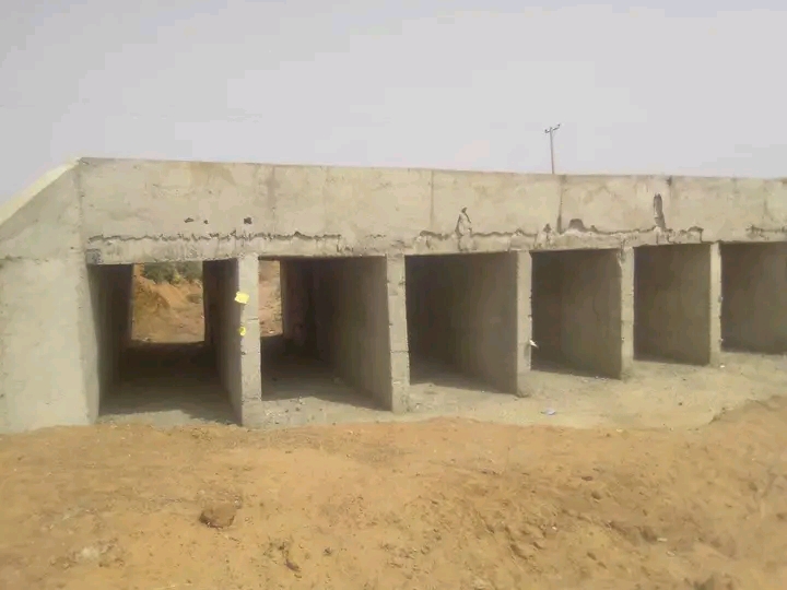
Infrastructure • PotiskumConnecting communities through public infrastructurePhotograph: Garin Maje bridge. Mamman AA / Wikimedia Commons, CC BY-SA 4.0.
A secure digital platform helping trained civic focal persons document public projects, report service-delivery issues and turn verified community observations into actionable insights across Yobe State.
A complete reporting, monitoring and accountability workspace designed around the realities of community fieldwork, independent verification and informed decision-making.
Capture public projects and civic issues with location, sector, observations, photographs and follow-up actions in one guided workflow.
Explore verified geographic reports by LGA, community, sector, observation date and project status.
Review submissions, request clarification, approve or reject reports and preserve a traceable decision history.
Save drafts on mobile devices, queue submissions when connectivity is poor, and synchronize after reconnection.
Compare reporting trends across 17 LGAs with configurable filters, sector indicators and exportable summaries.
Role-based access, secure evidence storage and auditability help keep operational information with authorized RAWYOD users.
A transparent workflow connects community observations with responsible verification, oversight and documented follow-up.
Authorized focal persons record project information or service-delivery issues, including supporting evidence.
Reports are saved, submitted and tracked with a unique reference, even after periods of poor connectivity.
RAWYOD reviewers validate submitted information and request clarification whenever necessary.
Approved information supports dashboards, geographic monitoring, structured follow-ups and reporting.
These authentic photos are included for geographic and infrastructure context only. They are not Arewa Civic Tracker submissions, investigation results or RAWYOD-verified project assessments.
Real location in the Potiskum area, illustrating the infrastructure categories civic focal persons may document.
Mamman AA · Wikimedia Commons · CC BY-SA 4.0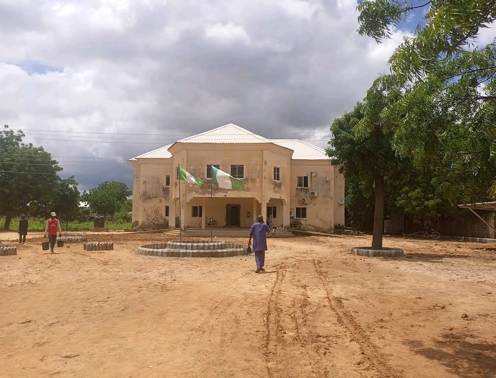
A photographed public institution in Damaturu, featured as an example of infrastructure and service access.
Useendk · Wikimedia Commons · CC BY-SA 4.0
Damaturu campus entrance, highlighting how geographic reporting can place institutions within their communities.
Musaddam Idriss · Wikimedia Commons · CC BY-SAAccess your reporting workspace to submit observations, review evidence, follow projects or explore the monitoring map.